
Topography for Northern Levee Bund
Project Overview
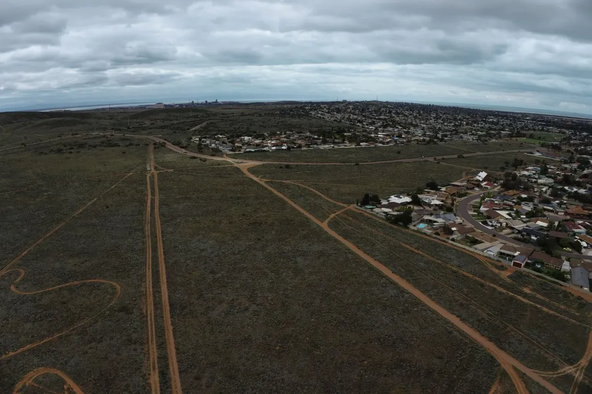
The Topography for the Northern Levee Bund project aimed to improve the effectiveness of the Northern Levee Bund by providing accurate and up-to-date topographical information upon which detailed design would be based on.
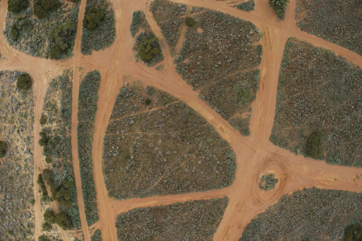
Civiltech Solutions was engaged to obtain aerial imagery and produce a detailed surface model suitable for earthworks modelling.
Our Advantage
The use of the Civiltech Solutions and Propeller Aero platform offered multiple advantages for this project, including:
Enhanced accuracy: The combination of Civiltech Solutions' expertise in topographical surveying and Propeller Aero's smart survey technology allowed for precise and detailed terrain modeling.
Cost and time efficiency: The use of drone-based surveys and cloud-based data processing reduced the project's cost and time constraints.
Improved safety: The drone-based surveys eliminated the need for ground-based surveying, reducing potential safety hazards.
Project Challenge
The main challenge faced during the Topography for the Northern Levee Bund project was the need for highly accurate and on-time topographical information for the Northern Levee Bund.
Our Solution
Civiltech Solutions addressed the challenge by adopting a comprehensive solution that involved the use of propeller drone-based surveys and cloud-based processing. This allowed for highly accurate and precise topographical information within a shorter timeframe.
Project Outcome
Civiltech Solutions delivered precise and detailed topographical information for the Northern Levee Bund. This information facilitated design and planning of the works to reconstruct the Northern Levee Bund.
Civiltech Solutions' expertise in topographical surveying and Propeller Aero's advanced technology ensured that the project's results were delivered with accuracy within the allocated timeline and budget.
Location:
Whyalla, SA
Client:
City of Whyalla
Role:
Drone Services
Date:
October 2022

Contact us
Suite 34, Darwin Innovation Hub,
Level 1, 48-50 Smith St Mall,
Darwin City NT 0800,
Australia
0427 142 252
