
360° Street View Imagery
When & Where you need it.
Ditch the outdated imagery.
No need to wait months or years for updated street view imagery —our simple-setup system puts the power in your hands.
Imagery on roads that matter to your operations.
Capture your road network when you need it most. Imagery accessible via web map for seamless use.
Case Study
Shire of Broomehill Tambellup (WA)
For road network management, we need to be effective at implementing maintenance works.
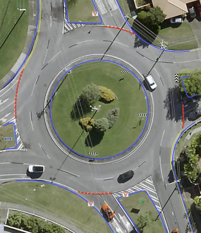
For the Shire of Broomehill Tambellup, we collected imagery and LiDAR data across 1,000 km of roads in just 5 days.
The implementation of 360-degree imagery improved the efficiency and effectiveness of the Shire's operations with stakeholders.
Detailed visual data led to more accurate off-site inspections, allowing for targeted maintenance interventions.
Lastly, there is now a record of pre-disaster road conditions for flood damage assessments.
Stakeholders accessed precise, recent, roadway conditions, enabling good decisions for engineering planning.

Contact us
Suite 34, Darwin Innovation Hub,
Level 1, 48-50 Smith St Mall,
Darwin City NT 0800,
Australia
0427 142 252
