
See Every Angle.
With 3D LiDAR and clear, 360° Imagery.
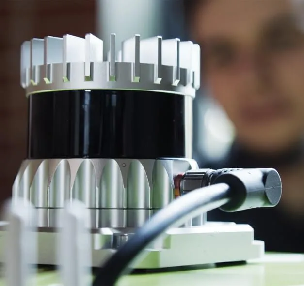
Get Asset Mapping Superpowers with Cyvl's Sensor and Algorithms.
Leverage, 3D LiDAR and high-resolution Street View imagery processed using Cyvl's AI algorithms to analyse data, gain insights, and digitise your road network.
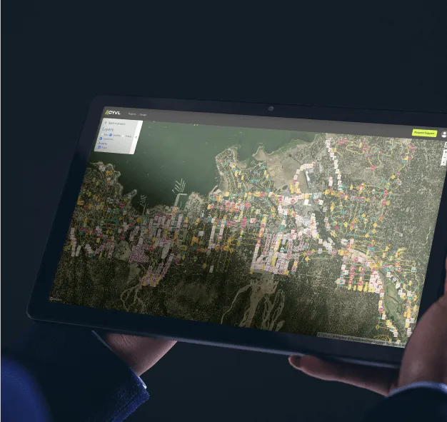
Measure your roads from the comfort of your web page.
Take measurements (footpath length, bridge clearance, sign or tree height, etc.) in seconds from Cyvl’s web platform or your favorite engineering software.
Case Study
OWN Success Story
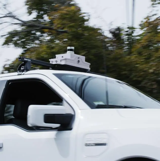
Cyvl, in collaboration with OWN, Inc’s Destin, Florida office embarked on an innovative pilot project aimed at addressing infrastructure management for the WaterColor Resort, a 500-acre community in Walton County, Florida.
The project covered a span of 15 centerline miles, utilizing Cyvl’s advanced technologies and OWN’s expertise to detect and document a comprehensive range of above-ground assets and roadway data.

Contact us
Suite 34, Darwin Innovation Hub,
Level 1, 48-50 Smith St Mall,
Darwin City NT 0800,
Australia
0427 142 252
