
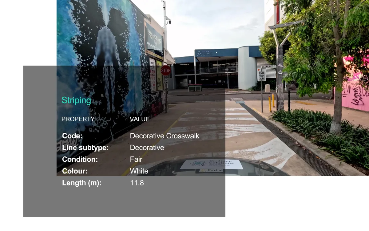
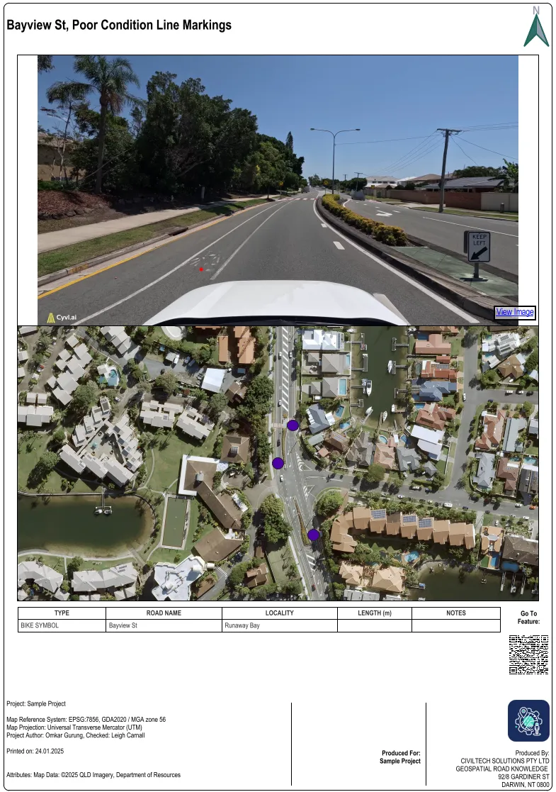
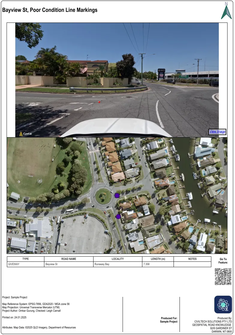
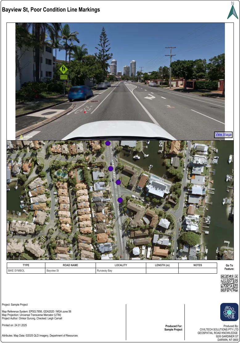
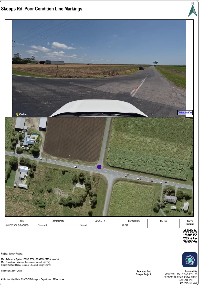
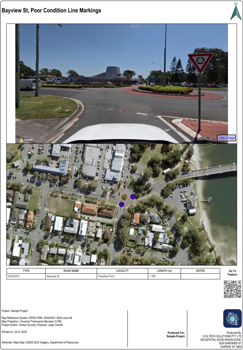
Pavement Markings
Mapped and condition assessed.
Inventory Every Stripe and Symbol.
Capture information about every pavement stripe, symbol, and marking (including dimensions, type, paint colour, and condition) with 3D LiDAR and high-res Street View imagery on the Cyvl Sensor.
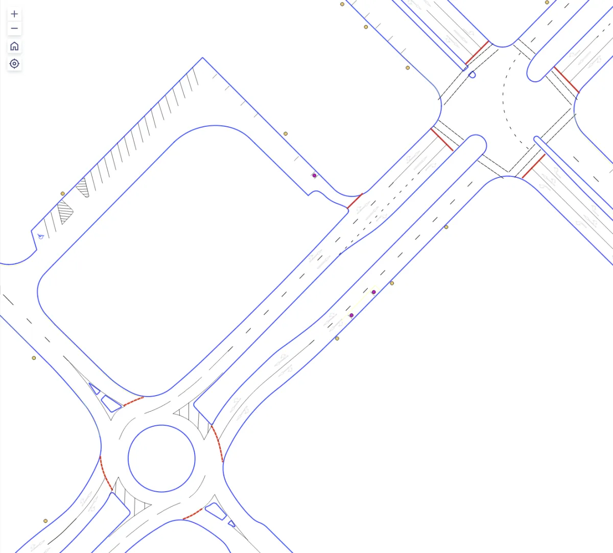
Map ALL Markings
Automatically map all pavement markings, lines, and symbols to ensure compliance with safety and quality standards.
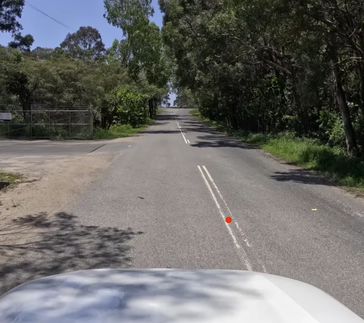
Prioritize Maintenance.
Boost Motorist Safety with High-Visibility Pavement Markings
Our duo of the LiDAR powered sensor and Cyvl algorithms work to precisely identify worn-out or deteriorated pavement markings.
By prioritizing these areas for maintenance, we ensure that critical road markings remain highly visible, enhancing safety and guiding motorists effectively.
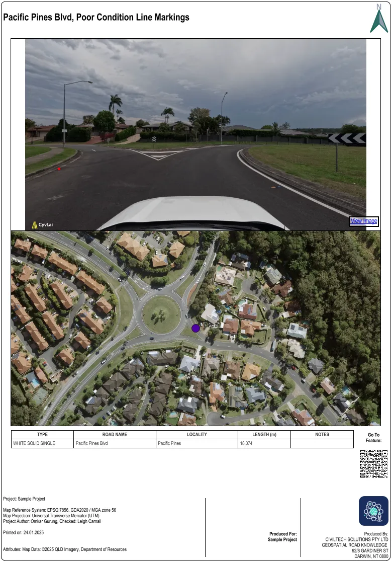
Get Smart Maintenance Assessments.
Order custom reports that turn roadway data into insights, helping you manage maintenance projects and allocate your budget where it’s needed most.


Contact us
Suite 34, Darwin Innovation Hub,
Level 1, 48-50 Smith St Mall,
Darwin City NT 0800,
Australia
0427 142 252
