
Sign Inventories
Mapped and condition assessed.
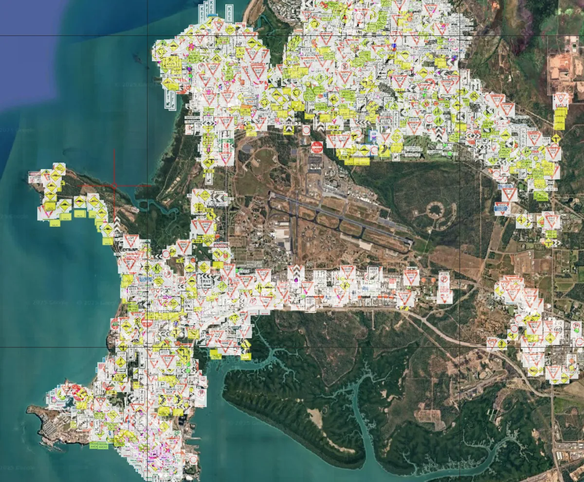
Network wide road signs mapped and catalogued.
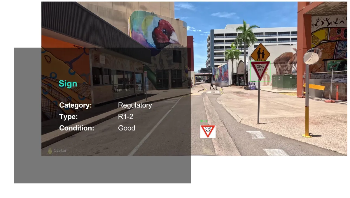
Accurate and Actionable Data
We provide precise GIS-formatted data that seamlessly integrates with existing asset or GIS systems.
Our detailed reports, linked with high-resolution photos of each sign, ensure easy data interpretation and swift decision-making processes.
Imagine a list of damaged signs on your road network.
Proactive Maintenance Strategies
Use our innovative condition rating capability to prioritize sign maintenance activities effectively.
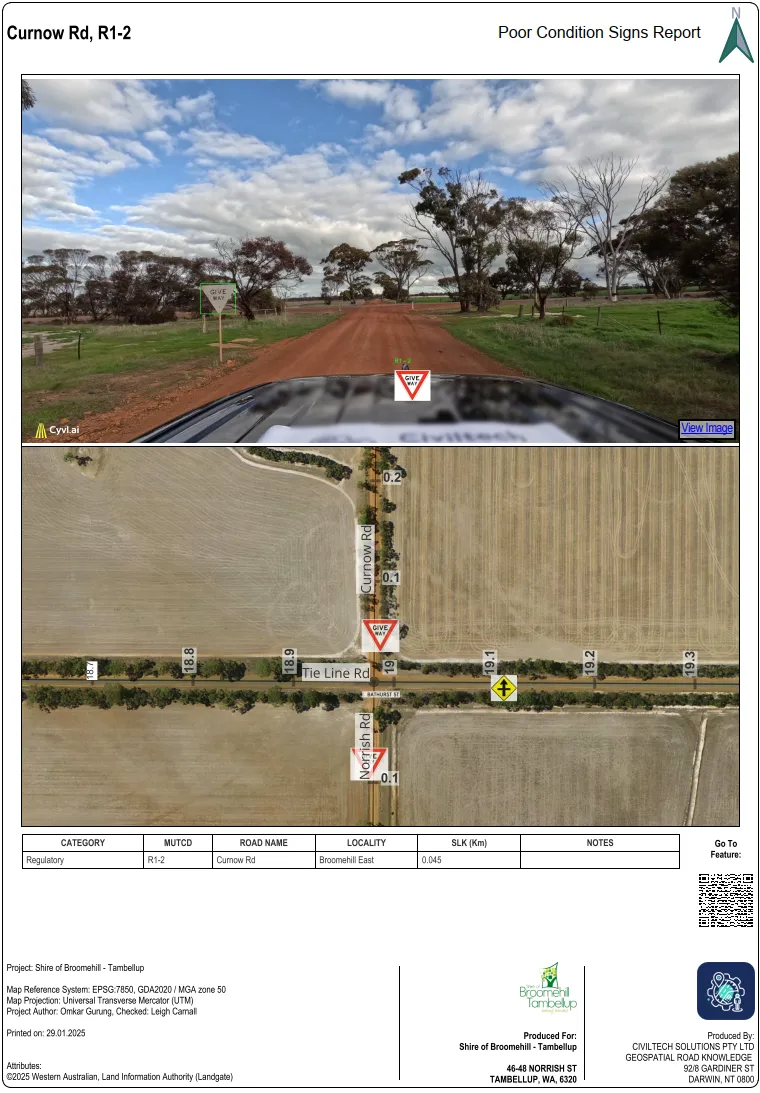
Our meticulous condition rating system pinpoints signs that are faded, damaged, defaced, or compromised, enabling you to prioritize maintenance accurately and effectively.
By identifying signs in need of repair or replacement, you can develop proactive strategies from your office that minimize road safety risks in line with your budget—and provide evidence for your decisions.
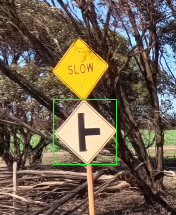
Signs identified.
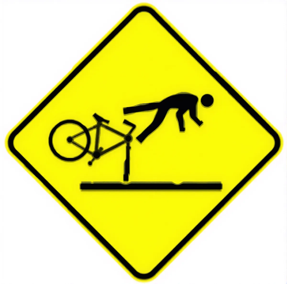
We identify the unusual Aussie ones too, like R1-2.


Case Study
Shire of Broomehill Tambellup (WA)
From Data to Decision: Revamping Sign Replacement Strategies in Just 3 Hours
For road network management, we need to be effective at implementing maintenance works.
For the Shire of Broomehill Tambellup, we collected imagery and LiDAR data across 1,000 km of roads in just 5 days. Our innovation didn't stop there; we integrated this data into comprehensive insights on infrastructure components.
In a mere afternoon, we analyzed and distilled insights from 2,536 signs, identifying the 168 most pressing replacements. With an eye for risk assessment, context and engineering need, collaboration with the Works team refined this list to 86 signs that truly warranted immediate attention, ensuring strategic resource allocation on limited budgets. Effective with the budget available.
Going beyond mere replacements, we foresaw potential improvements, pinpointing two areas ripe for Road Safety Audits. This approach not only enhances safety but reflects our forward-thinking ethos.

Contact us
Suite 34, Darwin Innovation Hub,
Level 1, 48-50 Smith St Mall,
Darwin City NT 0800,
Australia
0427 142 252
