
Lowering the Cost of Participation
A governance-led examination of why evidence gaps in local government road networks are often structural, not cultural, and how flexible capture models make timely, defensible participation more achievable.

What Accuracy Actually Anchors
Accuracy has a cost. For councils, the goal isn’t maximum precision, but repeatable measurement that anchors what was observed and supports defensible decisions over time.
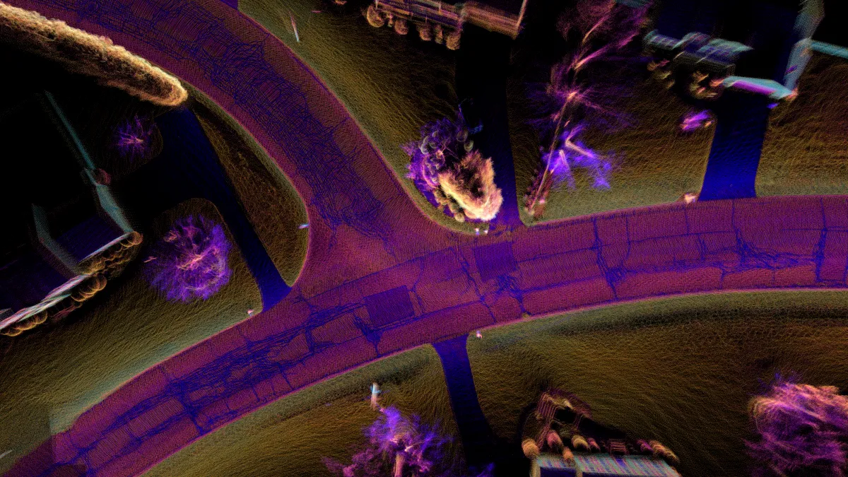
Seeing Safety in the Dark
Linemarking doesn’t just need to exist—it needs to be seen, especially at night. For decades, councils have relied on handheld or vehicle-mounted retroreflectometers to measure how well road markings reflect light back to drivers. But these tools are expensive, slow, and often impractical for large networks
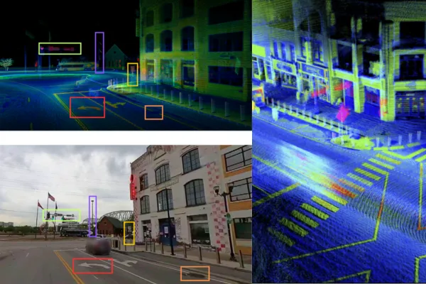
The Hidden Risk in Faded Lines
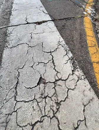
Across Australia, linemarking is often taken for granted—until it fades. From centrelines to edge markings and pedestrian crossings, clear and consistent lines are critical to road safety.

Contact us
Suite 34, Darwin Innovation Hub,
Level 1, 48-50 Smith St Mall,
Darwin City NT 0800,
Australia
0427 142 252